You check the weather app every morning. The forecast shows a high and a low, a simple range that dictates your day. But have you ever paused to wonder why that number on your screen climbs and falls so reliably? The daily temperature variation is a fundamental rhythm of our planet, a dance between sunlight and shadow, heat and cold.
This isn’t just academic. It affects everything from your energy bill to crop yields. To truly grasp these daily weather cycle patterns, you need to look at the basic physics. For those who love data, tracking these changes accurately starts with a good tool. Many home weather enthusiasts and professionals rely on precise instruments like the Measurements of Temperature sensor for reliable data.
The Science of Daily Temperature Swings
At its core, the diurnal temperature variation is a story of energy in and energy out. The sun acts as our primary heater, and Earth radiates that heat back into space. The balance between these two processes creates the daily temperature range you experience.
Core Mechanism: Solar Radiation and the Diurnal Cycle
Sunlight, or solar insolation, is the engine. It doesn’t heat the air directly. Instead, it warms the Earth’s surfacesoil, pavement, water. The surface then transfers that heat to the air above it through conduction and convection. This is why why does temperature change during the day has a clear answer: the sun’s position.
Temperature peaks in the mid-afternoon, not at solar noon. Why the lag? The atmosphere has thermal inertia. It takes time to absorb and release heat. After noon, incoming solar energy still exceeds outgoing terrestrial radiation for a few hours. The heating continues.
Conversely, the lowest temperature typically occurs just before sunrise. This period of nocturnal cooling happens because Earth’s surface radiates heat out into space all night long without the sun’s input to replenish it. This explains the common query: why is it coldest just before sunrise? The heat loss has simply reached its maximum point.
Key Factors Influencing the Temperature Range
The temperature amplitudethe difference between the daily high and lowisn’t constant. It’s shaped by a cocktail of geographic and atmospheric conditions.
Geographic and Seasonal Factors
Your location on the globe is a primary dictator. Deserts exhibit massive swings. Why is the daily temperature range larger in deserts? The arid air lacks moisture and cloud cover. With nothing to trap outgoing radiation at night, heat escapes rapidly, leading to chilly nights after scorching days.
In contrast, humid coastal areas have a dampened range. Water vapor and clouds act like a blanket, absorbing and re-radiating heat back to the surface. This moderates both daytime highs and nighttime lows. Speaking of clouds, their effect is profound. How do clouds affect daily temperature changes? They reflect incoming solar radiation by day (cooling) and trap outgoing heat by night (warming). A cloudy day will be cooler; a cloudy night will be warmer.
Seasonality plays a huge role. Longer summer days mean more cumulative solar heating, often leading to a greater daily temperature range. Winter days are shorter, with a lower sun angle, resulting in less intense heating and a smaller range.
The Urban Heat Island Effect
Concrete, asphalt, and building materials store heat exceptionally well. They have high thermal inertia. In cities, this creates a microclimate where the temperature fluctuation causes are human-made. Urban areas stay warmer at night than surrounding rural landscapes. The temperature difference can be significant, altering local weather temperature patterns.
Real-World Examples and Variations
Let’s put theory into practice. Consider these contrasting scenarios:
- Clear Winter Day in the Mountains: Intense sunlight at high elevation heats surfaces quickly. The thin, dry air offers little insulation at night. Result? A dramatic temperature amplitude.
- Overcast Day in the Tropics: Consistent, heavy cloud cover. Solar heating is diffused, and nocturnal cooling is minimal. The diurnal cycle is almost flatvery little change from day to night.
- Coastal Beach Town: The ocean’s massive thermal mass stabilizes temperatures. Days are cooler than inland; nights are warmer. The daily range is small and comfortable.
Understanding these variations is key for applications like agriculture, construction, and even managing home systems. For instance, knowing the peak daily temperature range helps in setting efficient thermostats. It also relates to other domestic concerns, like understanding what safe operating limits are for appliances.
Practical Implications and How to Interpret Data
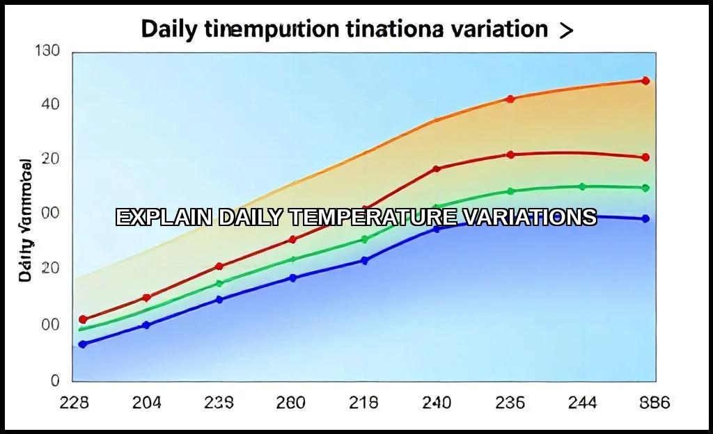
Meteorologists don’t just report highs and lows. They analyze the mean. How to calculate the mean daily temperature? It’s simple: add the day’s maximum and minimum temperatures together and divide by two. This single figure is vital for climate tracking, energy demand forecasting, and agricultural planning.
When you look at a weather chart, the high and low temperature difference tells a story. A large range suggests clear, dry conditions. A small range hints at cloud cover, humidity, or strong winds that mix the air. This data interpretation is a skill. For the most detailed explanations of these atmospheric processes, the National Weather Service’s official source on temperature is an unparalleled resource.
These principles extend beyond the atmosphere. The concept of thermal inertia applies to your home’s walls, a swimming pool, and even biological processes. For example, the rate of bacterial growth in food is directly tied to these daily temperature cycles if left unrefrigerated.
Measuring and Applying the Knowledge
To track your own local diurnal temperature variation, consistency is key. Place a thermometer in a shaded, ventilated area away from buildings. Record readings at the same times each day. You’ll start to see your local microclimate’s personality emerge.
This knowledge is practical. It helps you:
- Plan Outdoor Activities: Schedule strenuous work for cooler morning hours.
- Save Energy: Use natural nighttime cooling instead of AC when possible.
- Protect Plants: Understand frost risk on clear, calm nights following cold fronts.
- Interpret Forecasts: A forecast for a “low of 50F” means something very different in a humid valley versus a dry ridge.
The daily pulse of warming and cooling is a basic yet intricate force. It’s governed by universal physics but painted with local brusheshumidity, topography, and human development. By understanding the diurnal cycle, you’re not just reading a number on a screen. You’re interpreting a fundamental dialogue between the Earth and the sun, one that shapes the rhythm of life itself. Pay attention to it. The story is happening right outside your window.

